Extracting data from geotechnical reports
Geotechnical firms report every boring they drill as a log, each drawn in its own software, symbols and column order. Structural engineers and bidding contractors receive the report for each new site, and transportation agencies keep archives of many thousands of logs. They arrive as PDF bid attachments and scans of older paper.
Foundation design needs each boring's surface elevation and groundwater depth, and each sample's depth, soil class and blow count. A geotechnical database loads them through the DIGGS or AGS exchange formats, and engineers correlate blow counts with soil strength to size foundations.
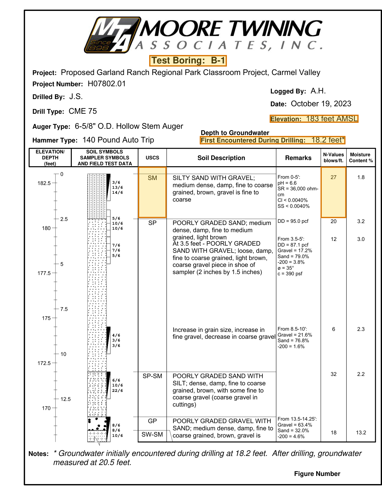
What makes geotechnical reports hard
Rows aligned by depth
Blow counts, moisture contents and lab values line up with their sample by vertical position against a depth scale, across unruled columns.
One boring spans several pages
A deep boring continues over several log pages, each repeating the header, and a soil description can break across the page boundary.
Every firm logs differently
Column order and sampler notation vary by firm and log software. Any vendor solution built on fixed templates needs one per firm.
Parse, extract, verify
Parse
Parse turns the document into reading-order Markdown and a hierarchy of blocks (text, tables, figures), and grounds each block to its exact location on the page.
Extract
You define the fields in a JSON schema, and Extract returns their values in a consistent, structured format, each linked back to where it appears in the Markdown.
Verify
Each value links back to where it appears, down to the character range in the Markdown, and the page and bounding box in the source document, so every result can be verified.
One geotechnical report, end to end
About this document: A geotechnical engineering investigation by Moore Twining Associates for a classroom project in a regional park in Carmel Valley, California. The park district posted it with the project's bid documents. The sample keeps 14 portrait pages of the report: the cover, the site plans, the boring logs with their key to symbols and two consolidation test reports. Page 6, the first page of a boring log, is featured.
Processing objective: The objective is to follow one boring from its header to its first sample: where the ground surface sits, where groundwater was first met, and what the first soil is and how dense. Each value grounds to its own line or row of the log.
Demonstration fields: Boring, Surface elevation (ft AMSL), Groundwater first encountered (ft), First sample USCS class, First sample N-value (blows/ft)
The document
4 of 14 pages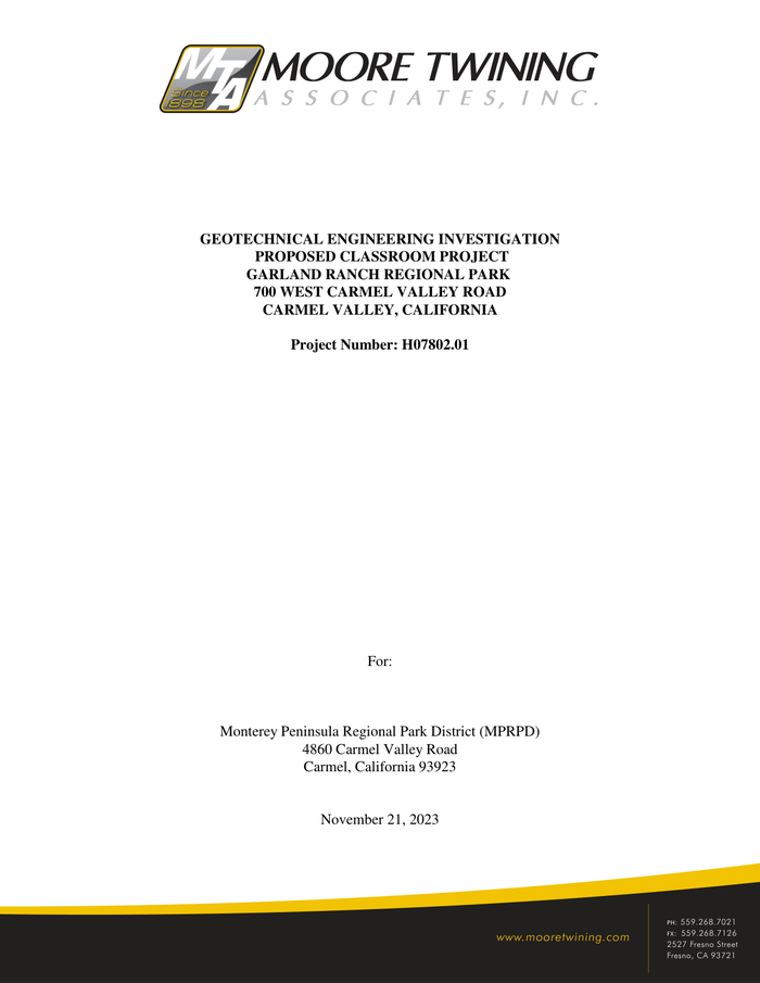 Page 1
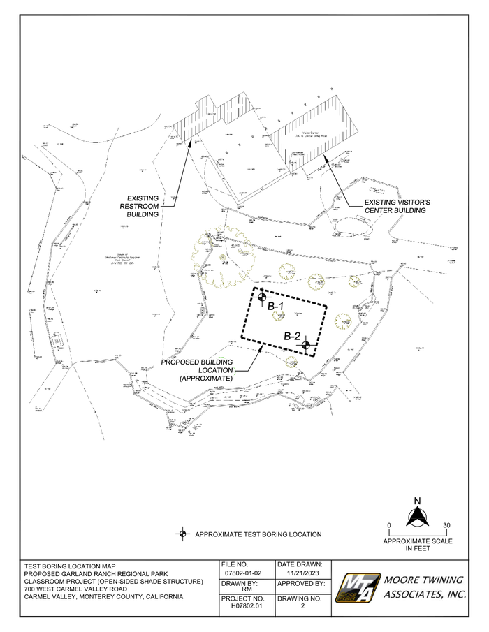 Page 4
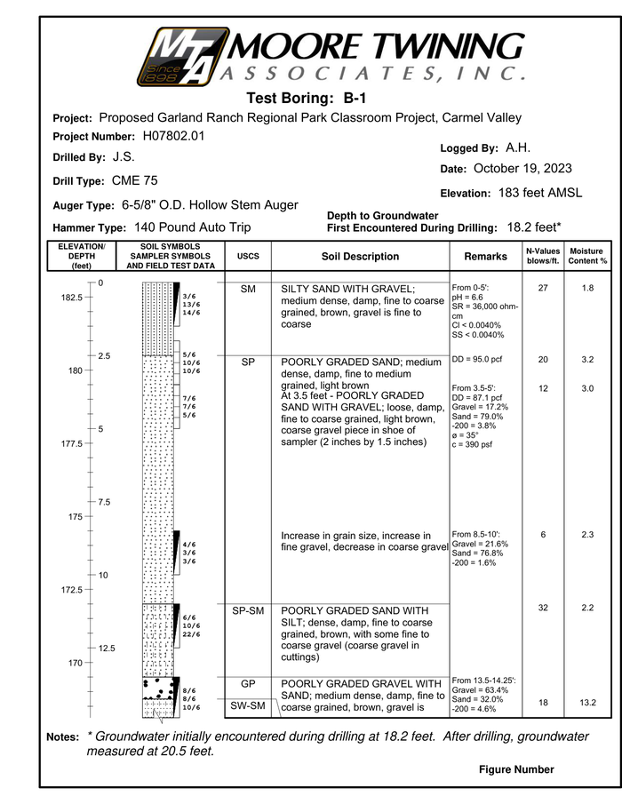 Page 6shown below
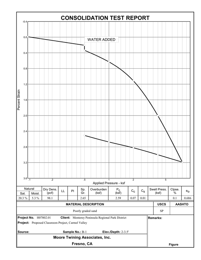 Page 13
Where each value came from
borings[0].boring_id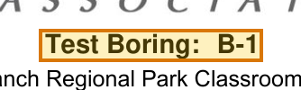
{
  "value": "B-1",
  "page": 6,
  "range": {
    "end": 4285,
    "start": 4265
  },
  "box": {
    "xmin": 0.39095,
    "ymin": 0.11129,
    "xmax": 0.59363,
    "ymax": 0.13431
  }
}borings[0].surface_elevation_ft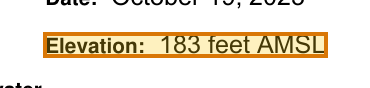
{
  "value": 183,
  "page": 6,
  "range": {
    "end": 4567,
    "start": 4542
  },
  "box": {
    "xmin": 0.70649,
    "ymin": 0.23192,
    "xmax": 0.9385,
    "ymax": 0.24754
  }
}borings[0].groundwater_first_encountered_ft
{
  "value": 18.2,
  "page": 6,
  "range": {
    "end": 4635,
    "start": 4590
  },
  "box": {
    "xmin": 0.52328,
    "ymin": 0.27494,
    "xmax": 0.90423,
    "ymax": 0.29162
  }
}borings[0].samples[0].uscs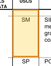
{
  "value": "SM",
  "page": 6,
  "range": {
    "end": 4998,
    "start": 4996
  },
  "box": {
    "xmin": 0.36137,
    "ymin": 0.33673,
    "xmax": 0.43604,
    "ymax": 0.44042
  }
}borings[0].samples[0].n_value_blows_per_ft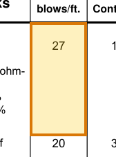
{
  "value": 27,
  "page": 6,
  "range": {
    "end": 5196,
    "start": 5194
  },
  "box": {
    "xmin": 0.83943,
    "ymin": 0.33669,
    "xmax": 0.90682,
    "ymax": 0.44022
  }
}
How to try it yourself
Everything on this page is reproducible. The sample, its schema, and the Parse and Extract API outputs are published. You can repeat the same two calls from whichever surface you already build on.
- Claude Skilldescribe the job; the agent writes it
- CLIno code at all
- MCPexpose ADE docs as an agent tool
- REST APIany language
- Pythonlandingai-ade
- TypeScriptlandingai-ade
Documents into data
Accurate
The best accuracy on the difficult documents other tools get wrong, such as messy scans, complicated tables, checkboxes and handwriting.
Auditable
Every answer cites its sources. Values come back with an audit trail (page, bounding box, character range) so a human can review them.
Agentic
Applies multi-step reasoning, and plans before it acts. Handles documents it has never seen before and adapts to variations.
API-first
Composable APIs that drop into any tech stack and can be called from anywhere. Easy to build on and embed in your pipelines and products.
Affordable
Cost-competitive rates with complete price transparency. Spend controls before you run, and every job reports its exact cost.
Enterprise-grade
Built for production and scale from day one. Fully observable and monitored, running securely in our cloud or yours.
Built for high-volume, high-throughput production
- Zero data retention
- Priority rate limits
- Enhanced support
- VPC and on-prem deployment
Available on Team and Enterprise plans. VPC and on-prem deployment require an Enterprise plan.